Heavy fighting happened today around the Latimer Farm portion of the Brushy Mountain – Mud Creek Line. The Marietta Country Club now sits on the former site of the Latimer Farm. The Confederate lines around the Latimer Farm formed a Salient angle, often called Hardee’s Salient, it was vulnerable to enfilading fire. Confederate positions were under near constant bombardment from Federal artillery positions no more than 1200 yards away. Three Federal Divisions, under the command of General Thomas, attacked the three Confederate Brigades at the Salient. The Union troops pushed the Confederate skirmishers back to their main lines and Federal troops soon occupied a trench line in front of the Salient. Once this line was occupied by the Federal troops, General Johnston realized the chances of the being overrun were high. On the night of the 18th, he ordered the evacuation of the line and the Confederate line then moved back to the famous Kennesaw Mountain Line.
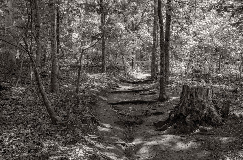
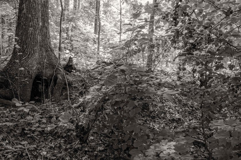
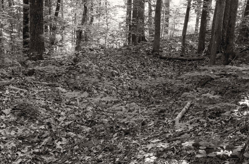
Remnants of Confederate earthworks that were used during the Battle of Latimer’s Farm. Now located within the Barrett’s Green Subdivision, they were preserved in the local SCV Camp McDonald in conjunction with the builder. This area was under a near constant artillery bombardment.While hard to discern due to the undergrowth, this images shows a line of several Federal artillery positions. The are called Lunettes. It is rare to have some so well preserved and these have been protected on private property. The property is now being developed into a subdivision and the Lunettes are being protected through the work of the local SCV Camp McDonald and the developer.Remnants of Federal earthworks located on the same property as the Lunettes above. Efforts by the local SCV Camp McDonald and the developer to prevent the destruction of the remaining earthworks.This shallow depression is all that remains of this section of Confederate earthworks in the area of Hardee’s Salient. They are located on private property that has been farmed for sometime.The small collection of minie balls found on the property of a farmer who owns the property where the previous image was taken. He grew up on the family farm and still lives there today and as a teenager he claimed to have found a 55 gallon drums worth of minie balls in the fields which he sold to collectors. Look close and you may see one with teeth marks… Now covered with trees and thick underbrush, these remnants of Confederate earthworks, that were part of Hardee’s Salient, now sit quietly behind a local church.
Heavy skirmishing continued along the Lost Mountain, Mud Creek, Brushy Mountain Line. Heavy engagements happened in the area of Latimer’s Farm, now the Marietta Country Club. Calvary actions were also happening continuously on both flanks. General Johnston begins planning to move to his next defensive position at Kennesaw Mountain. General Sherman, who has become frustrated, begins to contemplate a direct assault on the Confederate lines as opposed to a flanking movement.
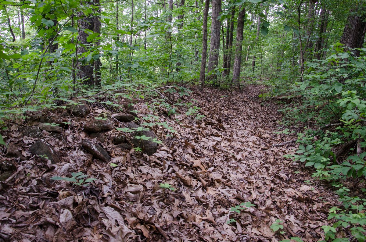
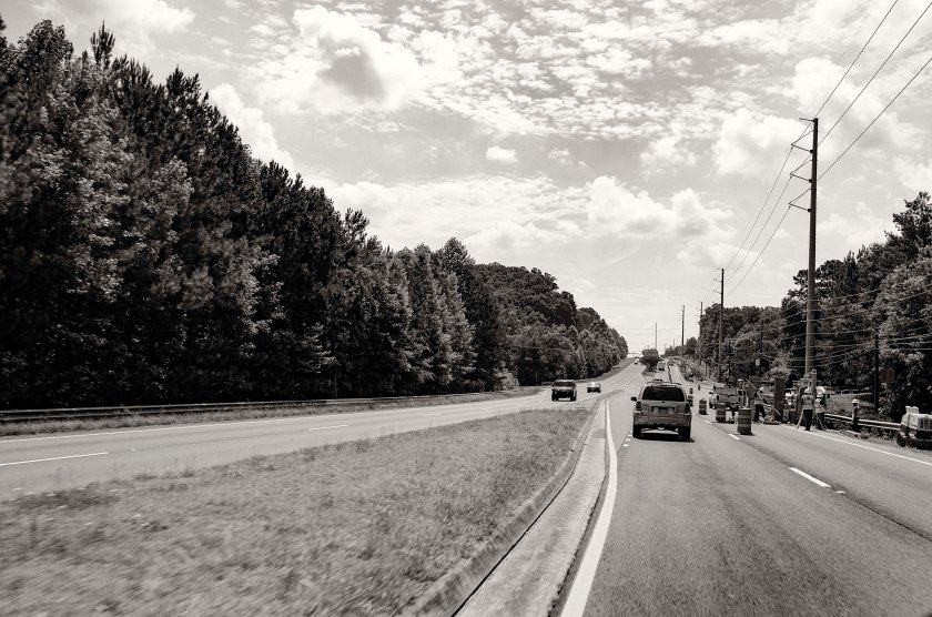
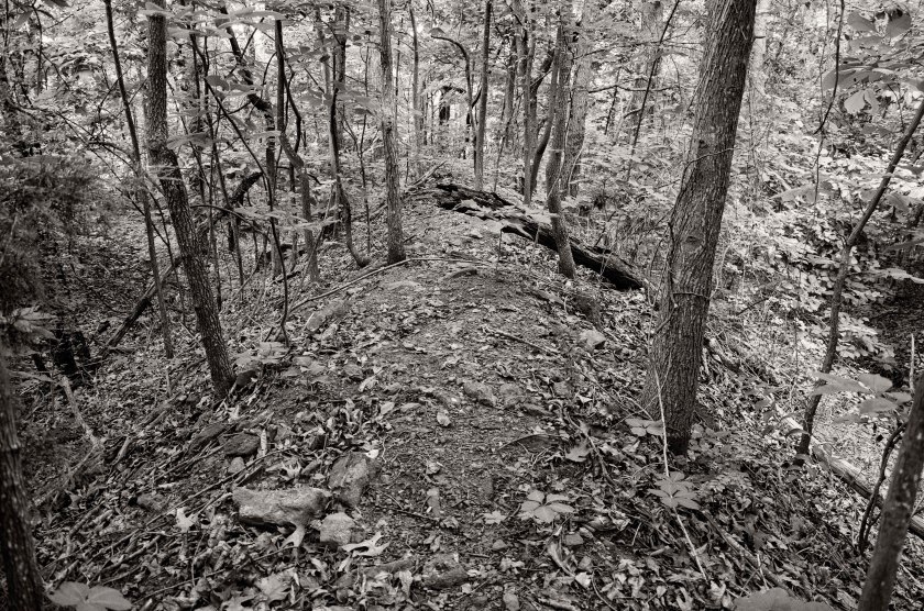
Looking south east along Hwy 120 where it crosses Mud Creek. The Confederates dug in atop the low rise in the distance in an attempt to stall the Federal advance as it crossed Mud Creek. Many, if not all, of the earthworks are now gone and are covered my subdivisions and shopping centers.Confederate earthworks at the far left (west end) of the Brushy Mountain Lost Mountain line. These works were manned by Jackson’s Calvary. These works were preserved by the local SCV Camp McDonald in conjunction with the Subdivisions builder and HOA. They are now preserved as a small park for the subdivision. Earthworks on the extreme right (East side) of the Brushy Mountain Lost Mountain line. These works are located on Brushy Mountain in a small subdivision. They are protected as a small park with historical information signs.“Hoods Fort” on Brushy Mountain stands a large earthwork fortification along with several thousand feet of preserved trenches. The exact purpose of the large fortification is unknown, but many speculate it was used as a ammunition bunker. You can get a sense of the scale from this image as you can look down the slope to the base of the fortification. A section of trenches curves its way around the base of the site known as “Hood’s Fort”