After the Battle of Jonesboro, Sherman’s Army followed the Confederates to Love Joy’s Station, where Hood rejoined Hardee with Stewart’s and Lee’s Corps. Sherman skirmished a day or so and then after learning that the XX Corps had entered Atlanta, he withdrew from Love Joy’s Station and marched back to Atlanta to claim his prize and losing what many consider to have been a prime opportunity to crush Hood and the Army of Tennessee once and for all. Having taken Atlanta, Sherman decided he had reached his objective and did not think it was worth the bloodshed to continue pressing his advantage.
Upon entering Atlanta, Sherman established his headquarters and began to restore order to the town. He decided that it was a military outpost and ordered all civilians to evacuate. A truce was negotiated with Hood, who was not happy about civilians being forced from their homes, and the civilians were given a choice of taking a train north or one to the south. The ones that choose a train south, were sent to Rough and Ready, where they had to disembark and travel to Love Joy’s Station by wagon. About half the cities population went north and the other half went south. There were some civilians that were allowed to stay as they were given jobs by the Federals.
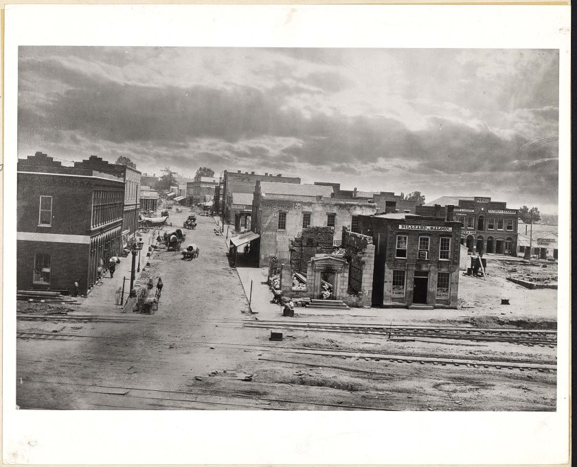
Poe, Sherman’s Chief Engineer, immediately started to rebuild and strengthen the defensive line around the city. He built artillery forts connected with infantry trenches. With much of the city in ruin, the soldiers started to use building materials from destroyed structures to begin building small shacks as living quarters. Sherman also began to rest and resupply his armies in preparation for his next sortie into the heart of the Confederacy.
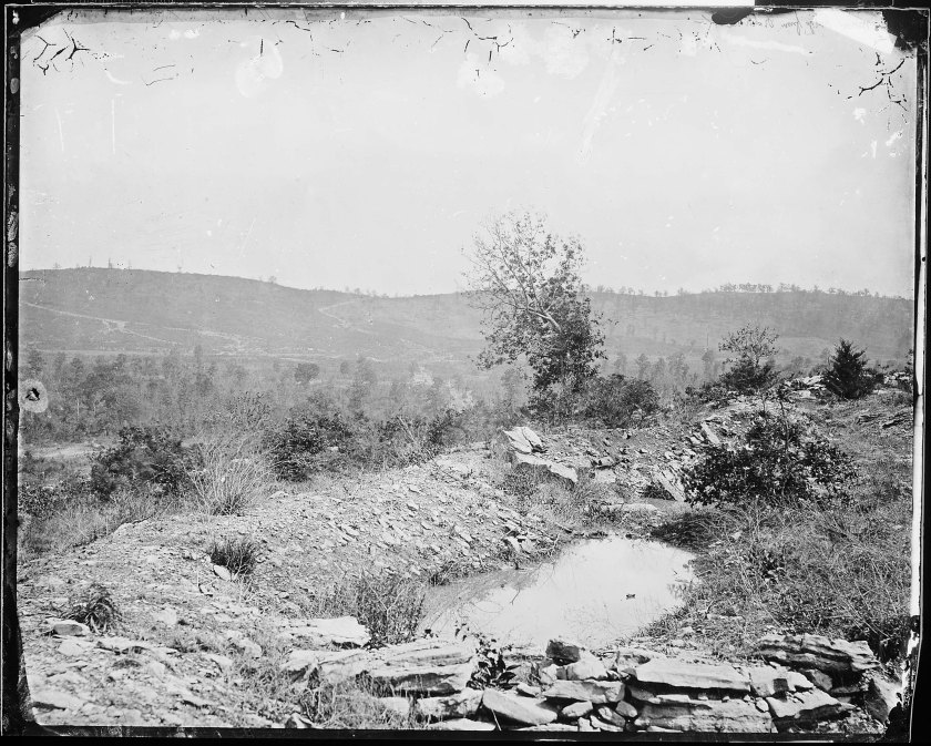
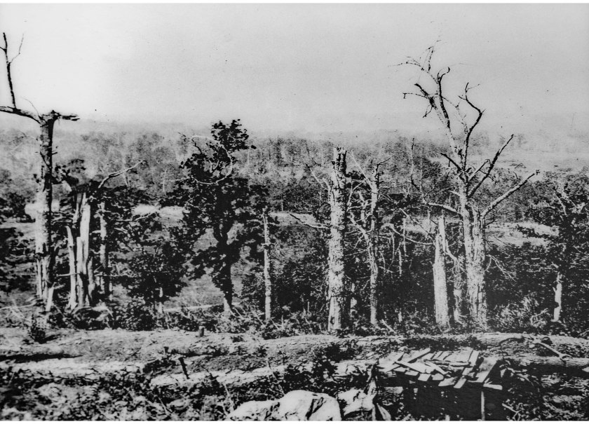
Many of the period images that exist of Atlanta come from this time of the campaign. George Barnard entered the city to document the Federal occupation. There are many iconic images of the Federals and their forts in Atlanta.

Note: All the images below are attributed to George Barnard. These images are all open source and were downloaded via wikicommons. They are all in the National Archives or the Library of Congress.