July 6th, 1864: Johnston’s River Line

General Johnston’s Army of Tennessee now occupies the River Line and they have the Chattahoochee River to their back and the Federals to their front.  General Sherman is looking for another route across the river that would allow him to turn Johnston’s Flank and force him from the River Line.  The images below are from the southern half of the river line.

outside pano.bw
Remnants of a large artillery battery at the far south end of the River Line.  General Hood’s forces held the is area which was the left of the Confederate line.
_DSC0067.bw
A dead tree spans the remains of Confederate earthworks along the River Line.
_DSC0088.bw
Several thousand feet of earthworks, including a Shoupade and large artillery battery are still in great condition and have survived the years of urban sprawl in Metro Atlanta.
_DSC0225.bw
The inside of one of the Shoupades in what is known as the River Line Extension.
_DSC0038.bw
Looking south on Oakdale road.  They Confederate River Line followed the ridge line that Oakdale Road follows.  In a few spots along the road you can still see remnants of Confederate works on the left as you drive south.
_DSC0048.bw
Nickajack Creek and its valley separated the Confederate River Line from the Federal lines to the west.


July 5th, 1864

July 5th, 1864

In the early morning hours, General Johnston and the Army of Tennessee, retreat from the Smyrna Line and fell back to the last line of previously prepared fortifications before the Chattahoochee River.  Known as the River Line, it was conceived and constructed by Brigadier General Francis Asbury Shoup, Chief of Artillery for the Army of Tennessee.  The River Line had a new style of fortification in the line, they were called a Shoupade.  They were diamond shaped forts built with two of the angles sticking out ahead of the line.  The Shoupades were placed anywhere from 60 to 175 yards apart depending on the terrain and were connected by earthworks that intersected the Shoupade roughly in the center.  The angled section in front of the line from two adjoining Shoupades, allowed for a crossfire on an advancing enemy.  Each Shoupade could hold 80 soldiers shoulder to shoulder.  They were also constructed to withstand an extended artillery barrage.  The Confederates occupied this line until the night of July the 9th, when the retreated across the river.

These images are from the northern half of the river line.  Tomorrow I will post images from the southern half of the river line.

_DSC0112.bw
Looking at the inside of one of the best preserved of the remaining Shoupades.  This one now sits hidden in the woods and covered with English Ivy just a stones through away from a major expressway.


_DSC0077.bw
Shoupade Park, Cobb County.  Remnants of one of two Shoupades in the park.  There are also remnants of an artillery battery.
_DSC0061.bw
The second Shoupade at Shoupade park fenced off and covered with brush, but you can still see its size and shape.
_DSC0180.bw
A child’s tree house now stands guard over the remains of a large Confederate artillery battery located near the northern end of the River Line.
_DSC0182.bw
The crossed the Atlanta Road at this point.  Atlanta road, the road passing from the left to right of the image, is a period road that is still in use today.
_DSC0227.bw
The Confederates River Line crossed the railroad tracks here along the high ground at this railroad cut.
_DSC0019.bw
River Line Park, Cobb County.  The remains of a Shoupade are fenced off and still visible and protected in this park with ball fields and walking trails.

July 4th, 1864

July 4th, 1864:

The Federal troops continue to chase the Confederates and soon, as they approached Smyrna, they begin to encounter resistance from Confederate Skirmishers.  They were pushed back to their main lines and the Federals began to entrench.  Elements of Howard’s and Palmer’s Corps of the Army of the Cumberland advanced on the portion of the Confederate Smyrna Line near Smyrna Camp Ground, roughly the center of the Confederate line.  They were engaging seasoned troops of Cleburne’s Division and suffered heavy losses.  The second portion of the attack was made by Dodge’s Corps of the Army of the Ohio, they attacked the Confederate Left near Ruff’s Mill.  There was a salient in the Confederate line near this point that was their target.  This is where Hood’s and Hardee’s Corps met.  Elements of Dodge’s Corps pushed the skirmishers of Stevenson’s Division out of their rifle pits and back to their main works, but suffered heavy losses during the assault.  These attacks gained no ground for the Federals and only confirmed that the Confederate army was still in the line enforce.

The main Federal advantage gained this day, was Blair’s Corps being able to work its way around and behind the Confederate left flank.  At that point they were closer to Atlanta than the main body of the Confederate Army.  Blair’s movement seriously threatened Johnston and in the late night hours of July 4th and early morning hours of July 5th, Johnston fell back from the Smyrna Line to the last line of defense west of the Chattahoochee River, known at Johnston’s River Line.


_DSC0275.bw
 The Smyrna Market Village now occupies the former location of the Smyrna Camp Ground, which was used as a meeting site for the Methodist Church as well as other denominations.
_DSC0271bw
Looking north west at the recreation of an old train depot.  The railroad tracks are just out of frame to the right and the Confederate line crossed the tracks in this general area.  Smyrna Campground would have been to the left just out of the frame.
_DSC0280.bw
Looking south along the railroad tracks that head into Atlanta.  Notice the reconstructed depot to the right.  The Confederate lines crossed the tracks in this general area.
_DSC0244.bw
 Looking north west from Smyrna up the railroad tracks that travel out of Marietta.  Notice Kennesaw Mountain in the distance approximately five miles away.
_DSC0241.bw
Looking from the Confederate line towards Kennesaw Mountain approximately 5 miles away.  The Confederate line at Smyrna followed the low ridge line that the current Concord road follows and then takes a turn to form a salient angle that followed high ground along what is now N. Cooper Lake Road.
_DSC0230.bw
Concord Road, the Confederate line followed this high ground. 
_DSC0204.bw
This is all that remains of Ruff’s Mill.  Now on private property, this brick structure dating back before the civil war was spared by the Federal Troops as it was a grist mill they could use for food production.
_DSC0214.bw
The Concord Covered Bridge was destroyed by the Federal troops on July 4th, 1864.  It was rebuilt in the late 1870’s.  The stacked stone pier in the middle of the bridge is all that remains of the original structure. 

July 3rd, 1864

July 3rd, 1864:

General Sherman entered Marietta and established his headquarters in the Kennesaw House and ordered his forces to continue the pursuit of the Confederates and attempt to engage them no matter what the cost of men and material.  They must press their advantage while the Confederates are retreating.

The Kennesaw House saw many uses during the war.  Early in the war, Andrews and a few of conspirators, stayed here the night before they stole a train attempted to destroy the railroad that was supplying the Confederate Army.  It was also used as a hospital at one point as well as a Sherman’s Headquarters.  Now it is a museum well worth the visit.

_DSC0097.bw

Battle of Kennesaw Mountain, 24 Gun Battery

During the attack on Kennesaw Mountain the Federals set an artillery battery containing 24 guns in total.  It was located on a low rise near the base of Big Kennesaw Mountain.  These images are from the 24 gun battery which is protected by the National Park.

_DSC0002.bw
Just in side the tree line of this low rise near the base of Kennesaw Mountain is the Federal 24 gun battery.
_DSC0208.bw
Remnants of one of the parapet walls at the 24 gun battery.
_DSC0220.bw
The gun notch is still slightly visible in the remnants of this parapet wall.
_DSC0257.bw
A view looking down the line of earthworks for the 24 gun battery.  Four separate emplacements are visible along this line.
_DSC0214.bw.jpg
Looking from the rear of the emplacement in the direction the gun would have faced.

Battle of Kennesaw Mountain, Pigeon Hill

With so many locations in connection with the battlefield at Kennesaw Mountain, I am going to make several more post over the next few days with more images.  There were just too many to include in yesterdays post.  Today’s images will focus on Pigeon Hill.

On the morning of June 27th, Federals under the command of General McPherson attacked the Confederate line in the area of Pigeon Hill and Little Kennesaw north east of Cheatham’s Hill.  The Federals quickly overran some Confederate pickets and rifle pits located ahead of the main line, but were quickly stalled by the well entrenched Confederates of French’s Division, which held Little Kennesaw and Pigeon Hill.  The Confederates well entrenched with plenty of large boulders and rocks used as cover in their earthworks.  At one point the Confederates were even rolling boulders and large down on the attacking Federals.  French’s Division also held the advantage of the higher ground thus forcing the Federals to attack up steep inclines that had been heavily covered with entanglements by the men of French’s Division.  The attacking Federals were repulsed and forced to retreat to low valley between Little Kennesaw and Pigeon Hill where they were trapped by musket and cannon fire for hours.  They were finally able to retreat back to their lines after darkness fell upon the battlefield.

_DSC0527.bw
A monument to fallen Federals stands in a field near starting point of the Federal assault on Pigeon Hill. 
_DSC0507.bw
The hiking trail up to Pigeon Hill and Little Kennesaw follows the route that Federal soldiers took during the attack.  Look to where the trail appears to end(but really turns left).  You will the what are the remains of Confederate earthworks just as the attacking Federals would have seen.
_DSC0500.bw
Remnants of Confederate Earthworks on Pigeon Hill.  These are some of the first entrenchments that were encountered by the Federal assault.
_DSC0464.bw
Remains of Confederate earthworks on Pigeon Hill near the spot where George Barnard made an image of the battlefield in the fall of 1864.
_DSC0245.bw
A line of Confederate works on top of Pigeon Hill near the lower portion of Little Kennesaw. Notice the large boulders further down the line and the slope as goes do to the right where the Federals were trapped until nightfall.
_DSC0252.bw
More Confederate works with large boulders included into the line.
_DSC0399.bw
Looking down the slope the Federals tried to make an attack from.  During the battle the Federals were forced to retreat further down this small valley until the could make it back to their lines under the cover of darkness.
pigeon hill
This is a period image captured by photographer George Barnard in the early fall of 1864 as he traveled to Atlanta to photograph the campaign.
_DSC0473.bw
Here is the same location photographed by George Barnard only 150 years later.  Notice the large oddly shaped stone in the foreground of each image.

150 Years Ago Today: Dec. 18th – Dec. 24, 1864

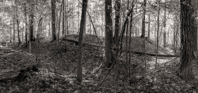
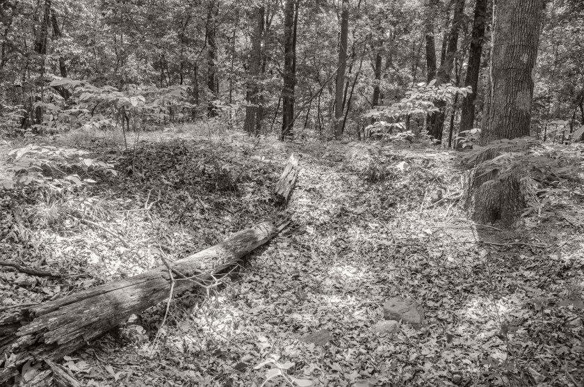
General Hardee has had his forces quietly construct a pontoon bridge across the Savannah River.  They constructed it out any boat or pretty much any floating object they could use.  On top of the boats, boards were placed to make a road.  They then placed straw and hay on top of the bridge to dampen the noise of travelers.   On the night of Dec. 20th, Confederate forces withdrew from Savannah and crossed the pontoon bridge into South Carolina.

Dec. 21st, at 4:00am, Federal forces were met on the outskirts of town by the Mayor and aldermen.  They formally surrendered the city and requested protection from the Federal Army.  Word was immediately sent to General Sherman, who was meeting with Navy Officers.  Sherman was taken back to King’s Bridge.  From there he rode into Savannah.

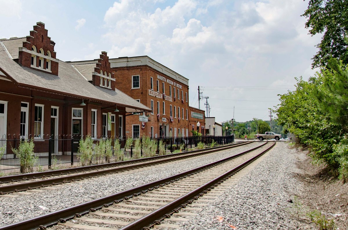
Dec. 22nd, General Sherman entered Savannah and established his headquarters at the Pulaski House.  While working out the details here, an English merchant, Charles Green, offered the General his home as his Headquarters.  General Sherman accepted and the Headquarters was moved to the Green House.  It was here that Sherman penned his famous telegram to President Lincoln.  It read as follows: 
            “I beg to present you as a Christmas gift the city of Savannah, with one hundred fifty heavy guns and plenty of ammunition, also about twenty-five thousand bales of cotton.”

Dec. 24, President Lincoln receives Sherman’s telegram.  The telegram is published in newspapers across the country.  Lincoln replied with “Many, many thanks for your Christmas gift, the capture of Savannah, but what next?”

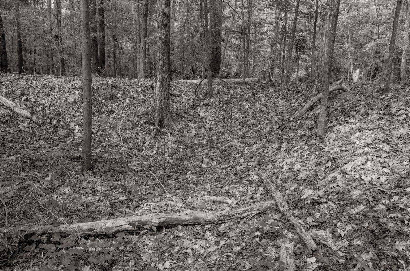
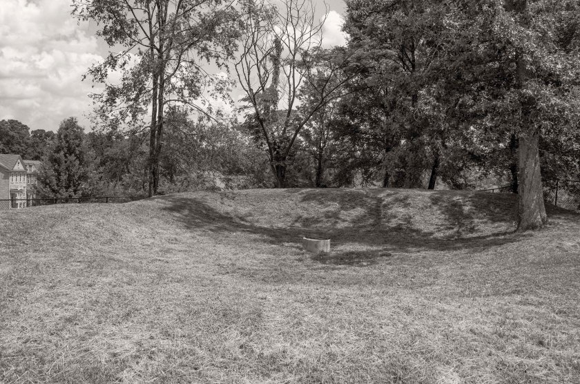
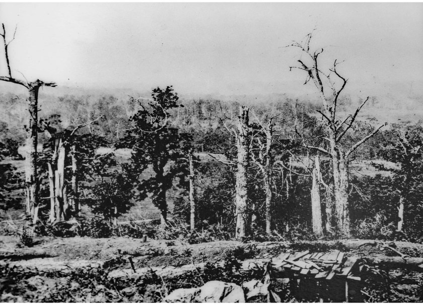
The March to the Sea is complete.  Sherman has reached his goal of Savannah and now has control of the city.  Camps are established and order is maintained.  Sherman’s Chief Engineer, Orland Poe, is reconstructing and fortifying the cities defenses.  The mines and obstructions are removed from the Savannah River and the port is reopened.  The citizens are encouraged to go back to life as normal, as as much of normal as can be expected under occupation.  Freed Blacks begin working for the Federal Army in various roles and schools are established for them in places that were once used in the slave trade.  Sherman rests, repairs, and refits his Army for there is more to come.

150 Years Ago Today: Dec. 10th – 17th, 1864

Dec. 10th, Sherman begins to lay siege to the defenses of Savannah and artillery exchanges become a frequent occurrence.  In order to keep up a siege, Sherman know he will need supplies and must make contact with the Federal Navy just off the coast. 

Dec. 12th, Kilpatrick is dispatched with his cavalry to locate an assault route to Fort McAllister.  Fort McAllister protects the mouth of the Ogeechee River and must be taken in order for Sherman to begin supplying his army.  After locating and route and informing Sherman, Kilpatrick rides to Midway and makes his headquarters at the Midway Church and then sends forces to Sunbury in an attempt to contact the Federal Fleet.

Dec. 13th, Federal forces overwhelm the garrison at Fort McAllister after a spirited fight the fort is captured.  Sherman watched the assault from a rice mill across the river.  With the Ogeechee River open, supplies begin to flow in to the army.  Sherman has a 1000′ long wharf built at King’s Bridge on the Ogeechee River.  This area is now a park with a boat ramp where the Hwy. 17 crosses the Ogeechee River.

Dec. 17th, General Hardee, commander of the Confederate forces in Savannah, sends a request to Confederate President Jeff Davis for reinforcements from Lee’s Army in Virgina, but receives word that Lee can not spare any troops.  General Sherman, knowing he has the upper hand, sends a request for Hardee’s surrender, but it is rejected by Hardee and the siege continues. 

150 Years Ago Today: Dec. 6th – Dec. 10th 1864

Dec. 6th and 7th, the Right Wing marched through Bulloch County and crossed the Ogeechee River at Jenks Bridge, the remnants of which are visible today at the Savannah Ogeechee Canal Society park.

Dec. 8th – Dec. 10th, the Left Wing marches toward Savannah passing through Springfield and Ebenezer.  At the while meeting more resistance.  The Right Wing begins to push elements to the East through Pooler and also faces increased resistance. 

Dec. 10th, General Sherman arrives on the outskirts of Savannah’s defenses and begins to plan for siege operations. 

150 Years Ago Today: Dec. 1st – Dec. 5th, 1864

Dec. 1st, 1864:
     The Right Wing, who Sherman is now traveling with, is making its way towards Millen and passes through the area of Herndon and Birdsville, west of Millen. 

Dec. 2nd, 1864:
     Sherman and the Right Wing move into Millen.  Sherman stays here for a day so that he can communicate with all parts of his army.  Soldiers give reports of the deplorable conditions found at the abandoned Camp Lawton just north of town.  Nearly the entire town is burned to the ground over the next day or so. 

Dec. 3rd, 1864: 
     The Left Wing passes through the area of Buckhead Church where on the 28th the Federal Cavalry under Kilpatrick clashed with Wheeler’s Confederate Cavalry.  The Left Wing then marches into Millen.  Parts of the Right wing have started moving out of Millen and are moving past Scarboro.

Dec. 4th, 1864:     The Battle of Waynesboro
     On the morning of the 4th, Kilpatrick’s Cavalry supported by two Brigades of Infantry marched on Waynesboro.  Their objective was to capture the town and burn all the bridges over Brier Creek.  As they approached the town they encountered General Wheeler’s skirmishers and drove them in toward the main line of works.  Being out numbered by the Federals who were advancing rapidly on their position and were about to over run them, the Confederates fell back to another line of prepared work in the streets of Waynesboro.  As Wheeler was again about to be overrun by a larger force, he ordered his Texans and Tennesseans to charge, thus delaying the Federals long enough for Wheeler to move his forces to block the Augusta road should Kilpatrick turn that way.  After quickly taking control of the town, the Federals burned the bridges over Brier Creek and set fire to the town.  The towns people were able to suppress many of the fires saving a great deal of the town. 

Dec. 5th, 1864:
     General Hardee is now well aware of the Sherman’s intent to move on Savannah and has placed his command between Sherman and Savannah.  The Right and Left Wings are both moving in a south easterly direction using the main roads into Savannah.  On the 5th, Sherman, traveling with the 17th Corps reaches the Ogeechee Church in what is now Oliver.  He took possession of a private home for his headquarters and remained here for several days to coordinate the movements of his command.  They were now within 50 miles of Savannah.